
KM² (KM²)
POPULATION (K)
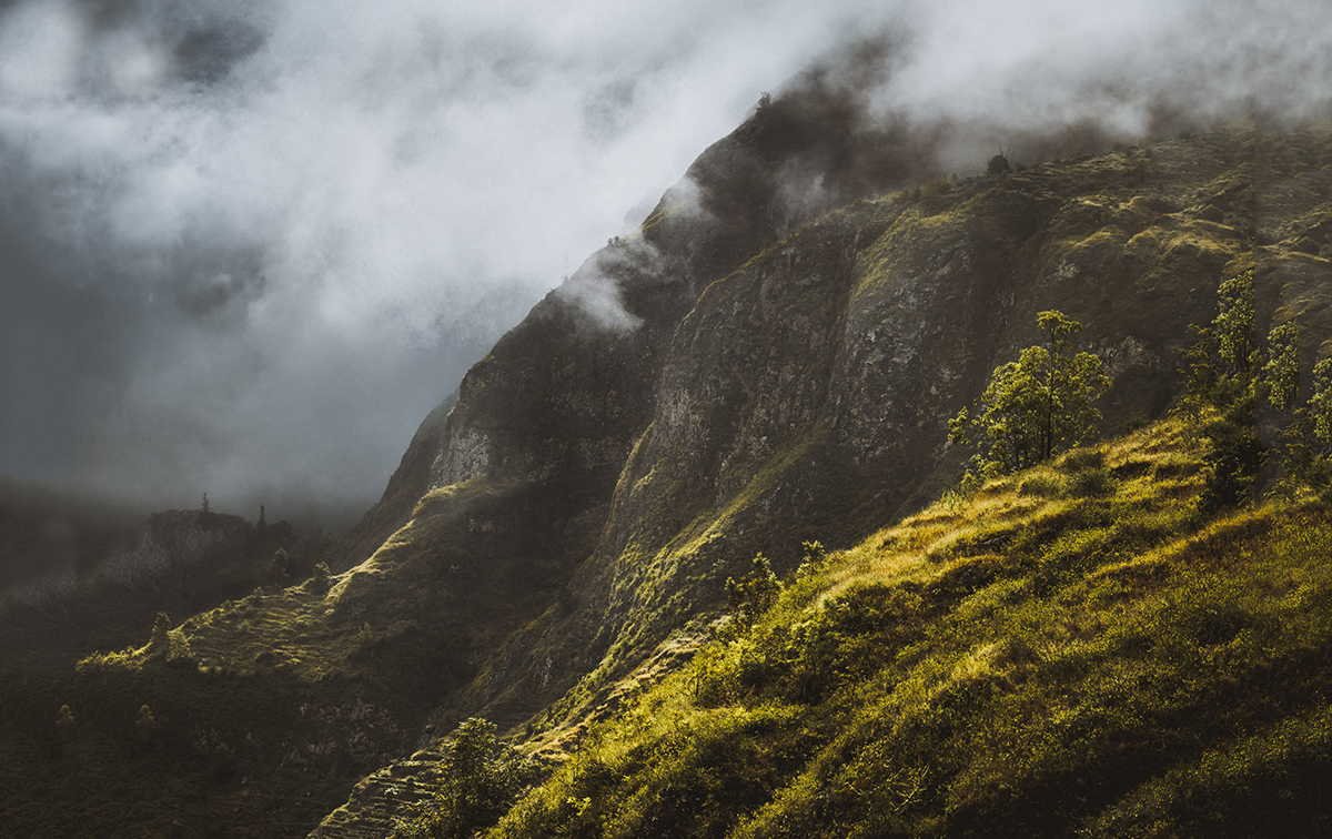
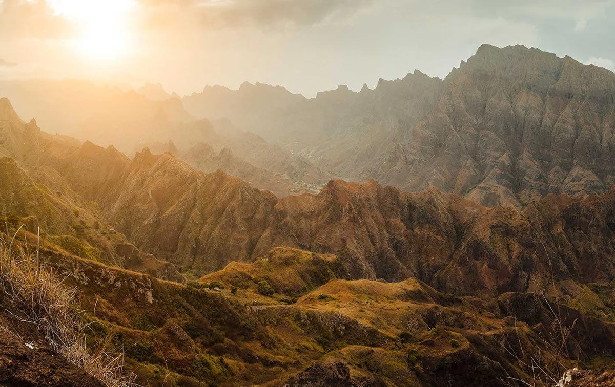
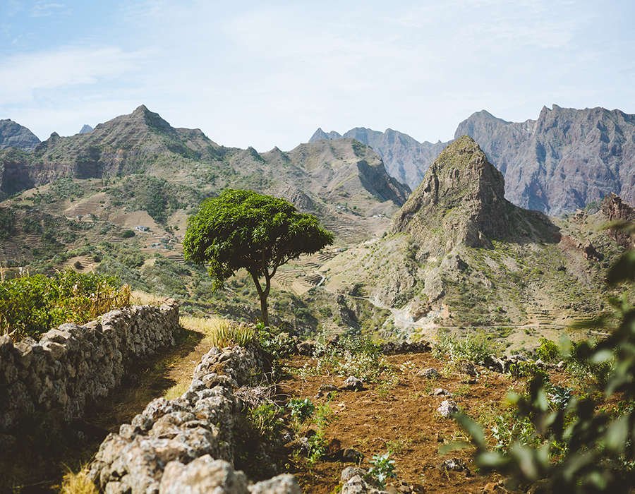
If you are a lover of trekking or photography, a visit to this island will be a must in the archipelago.
Santo Antao
The photographer’s and hiker’s spot
Santo Antao Island

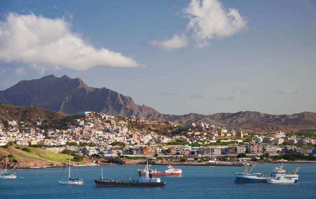
Porto Novo
Ponta do Sol
Paul
Cruzinha
Monte Trigo
Cova
Port
HIGHEST POINT (M)
KM FROM SAO VICENTE
LARGEST ISLAND
PONTA DO SOL
Entrance doors & Transportation
Access to the island of Santo Antao is by ferry only. It departs from Mindelo (Sao Vicente) and its trip lasts about 45 min. Its frequency is 2 ferries per day in each direction (morning and afternoon).
In terms of transportation, the best option for getting around the island are private 4×4 cars or aluguers (public transportation).
Santo Antao in data
History
Despite being a fertile and green land, the island of Santo Antao was not populated when it was discovered in 1462, but years later in the 16th century. During the colonization of the Spanish and Portuguese crowns, in 1494, after the signing of the Treaty of Tordesillas, it was agreed to divide the discovered territory along a north-south line that passed only 1700 km from Santo Antao. Thus, the eastern part of the line plus Brazil would pass to the Portuguese empire, and the rest to the Spanish. After several disputes between crowns, such as mortgaging the island to the English for a certain period, the island of Santo Antao became the capital of the Windward Islands due to its wealth and resources. A curious fact was the disputes between the towns of Ribiera de Paul and Ribiera Grande, which ended with the destruction of part of the causeway linking the two. In 1934, Santo Antao lost its status as the capital of Barlovento to Sao Vicente. Santo Antao is currently a poor island with high unemployment rates and hopes to properly promote tourism and agriculture.
Biodiversity
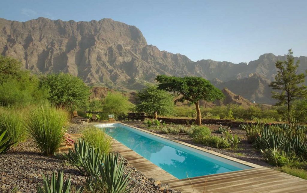
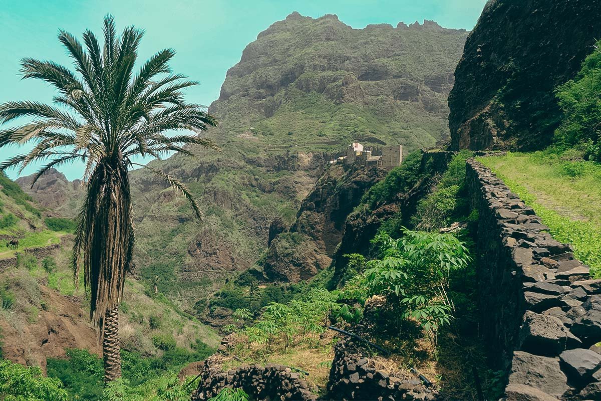
The most fertile of the territories in Cape Verde, with postcards of deep valleys full of rural life.
Biodiversity
Other locations
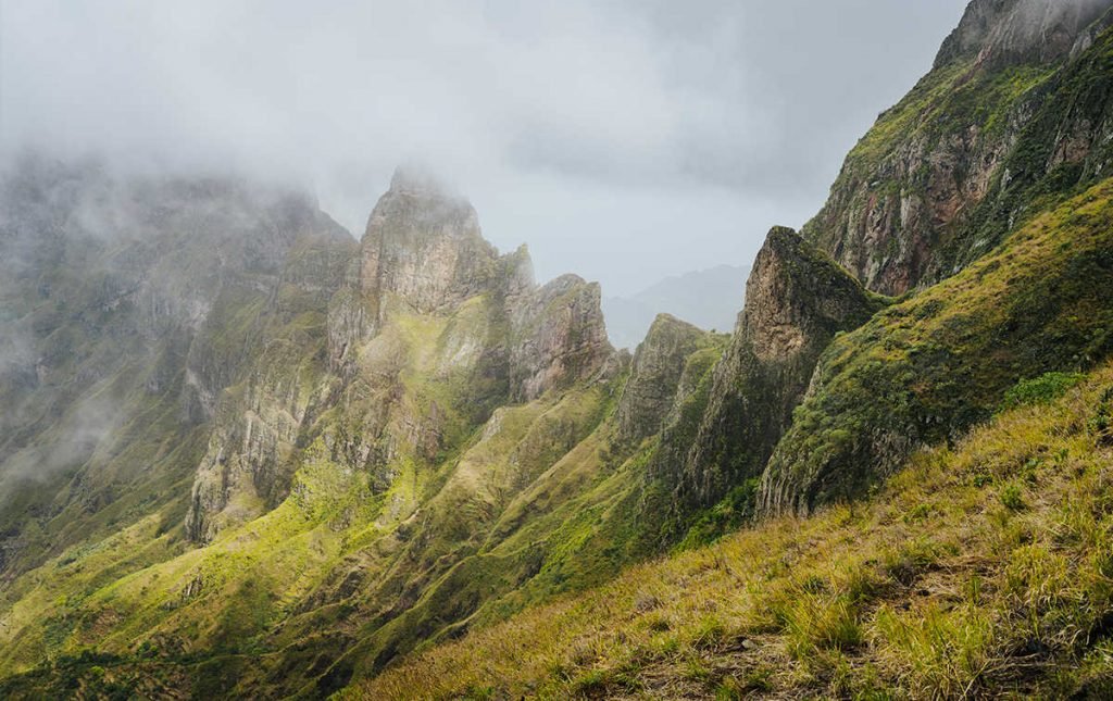
- Paul Valley: one of the iconic places of the island of Santo Antao and a place for spectacular trekking.
- Ponta do Sol: Small fishing town with a magical sunset.
- Tarrafal Monte Trigo: the most remote point of the island and with the best black sand beach of all Barlovento.


Experiences in Santo Antao
As it is a different island, the activities we recommend on the island of Santo Antao are also different. Among the most famous is canyoning in this unique environment. For mountain biking enthusiasts, this sport can also be practiced, always taking into account the steep slopes throughout the island.
In terms of bathing, we can enjoy different beaches in the summer months, since between October and May they disappear between the trembling waters. If we are looking for water sports, we can go surfing in designated areas and, as usual, we can also go fishing. Finally, it is advisable to take a tour of the island by car accompanied by local guides who will show you the best spots on the island of Santo Antao.
Outstanding proposals:
Above all, Santo Antao is known and famous for its spectacular treks, with an almost infinite variety.
Some of the best and most recommended treks:
- Cova – Paul
- Cruzinhas – Ponta do Sol
- Cha de Mato – Xôxô
- Topo Coroa (highest peak)
The island also offers some incredible canyons for canyoning.

4x4 Routes
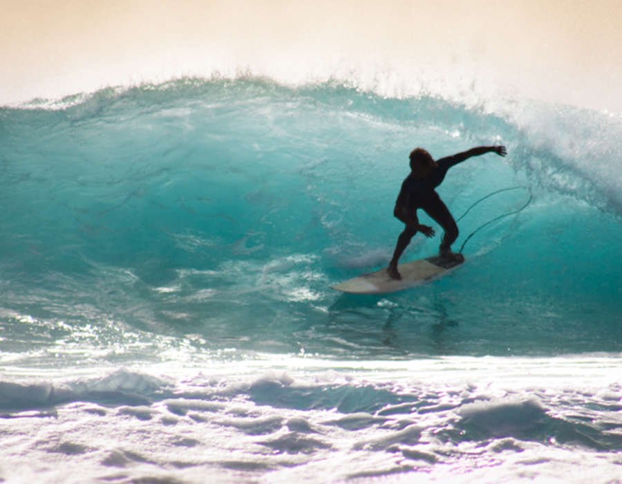
Surf

Photography
Trekking

Fishing

Mountain Bike

Beach
Would you like to discover this island?
Shall we start?
1
Request your trip
To start your trip click on “I want to travel” and we will help you to request your trip without any problem.
2
We design it for you
Once we receive your request, we will get to work to design your trip to Cape Verde.
3
It's time to travel
And little else… in a few days you will receive your proposal to travel with total peace of mind and guarantee.